
Steam telepítése
belépés
|
nyelv
简体中文 (egyszerűsített kínai)
繁體中文 (hagyományos kínai)
日本語 (japán)
한국어 (koreai)
ไทย (thai)
Български (bolgár)
Čeština (cseh)
Dansk (dán)
Deutsch (német)
English (angol)
Español - España (spanyolországi spanyol)
Español - Latinoamérica (latin-amerikai spanyol)
Ελληνικά (görög)
Français (francia)
Italiano (olasz)
Bahasa Indonesia (indonéz)
Nederlands (holland)
Norsk (norvég)
Polski (lengyel)
Português (portugáliai portugál)
Português - Brasil (brazíliai portugál)
Română (román)
Русский (orosz)
Suomi (finn)
Svenska (svéd)
Türkçe (török)
Tiếng Việt (vietnámi)
Українська (ukrán)
Fordítási probléma jelentése


https://www.img2go.com/result#j=d9e3c7df-86f4-45c3-98e2-58b3502c85e9
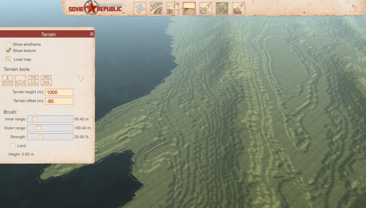
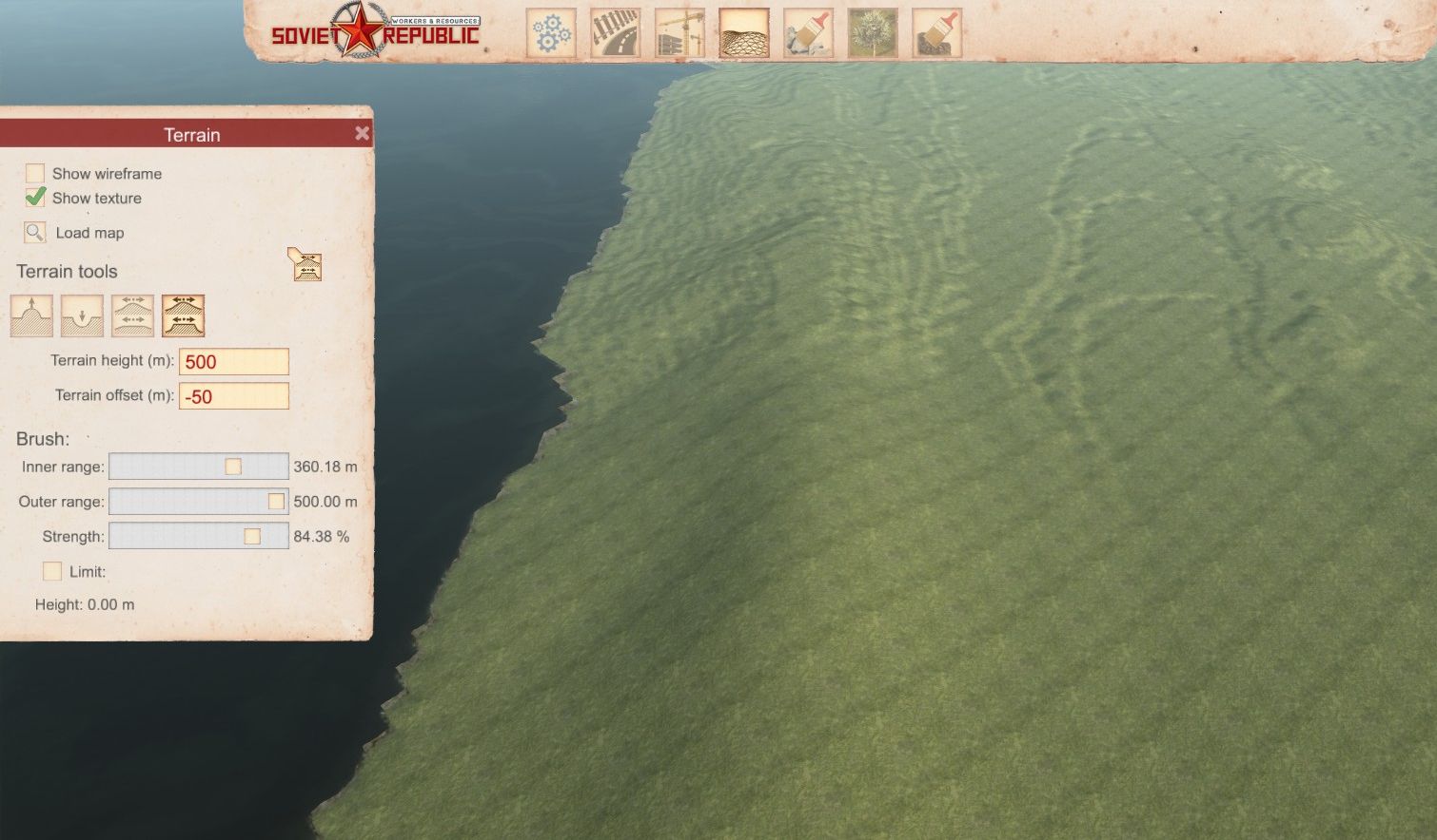
First Square the map. and blur if you want.
https://squareanimage.com/#:~:text=Transform%20your%20images%20into%20perfect
Greyscale Image Converter
https://www.grayscaleimage.com/
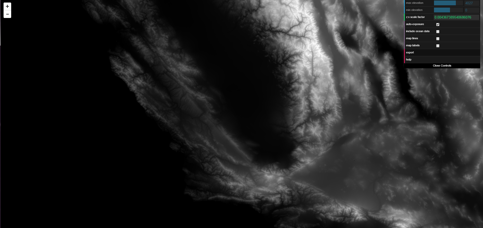
Map/Terrain Image Generator(off Real Data)
https://manticorp.github.io/unrealheightmap/index.html#latitude/9.220049074286408/longitude/-79.75250244140625/zoom/10/outputzoom/13/width/4033/height/4033
Would be a great help for new mapmakers and everyone who subscribes to workshop maps if a small section could be added to the guide explaining this vital step in publishing a map on the workshop.
https://forums.nexusmods.com/index.php?/topic/8057638-paintnet-now-supports-all-dds-formats-including-bc7-linear-etc/